

Earth observation data, for you
What exactly is “Earth Observation”?
Earth observation refers to the use of satellite imagery and remote sensing data to monitor and better understand the Earth, including environmental changes, natural hazards, climate, land use, and resource management. The technology enables continuous observation of the planet from space and supports scientific, governmental, and commercial applications.


And, what about the National Point Of Contact?
In Switzerland, the National Point Of Contact (NPOC) helps authorities, researchers, companies, startups, schools, and other users access and make use of satellite data for a wide range of applications and projects.
Have an idea or a project? Get in touch, we’ll do our best to support you.
The NPOC also actively contributes to outreach activities, workshops, exhibitions, and public events to foster the use of Earth observation and satellite data.
Earth Observation, in Switzerland
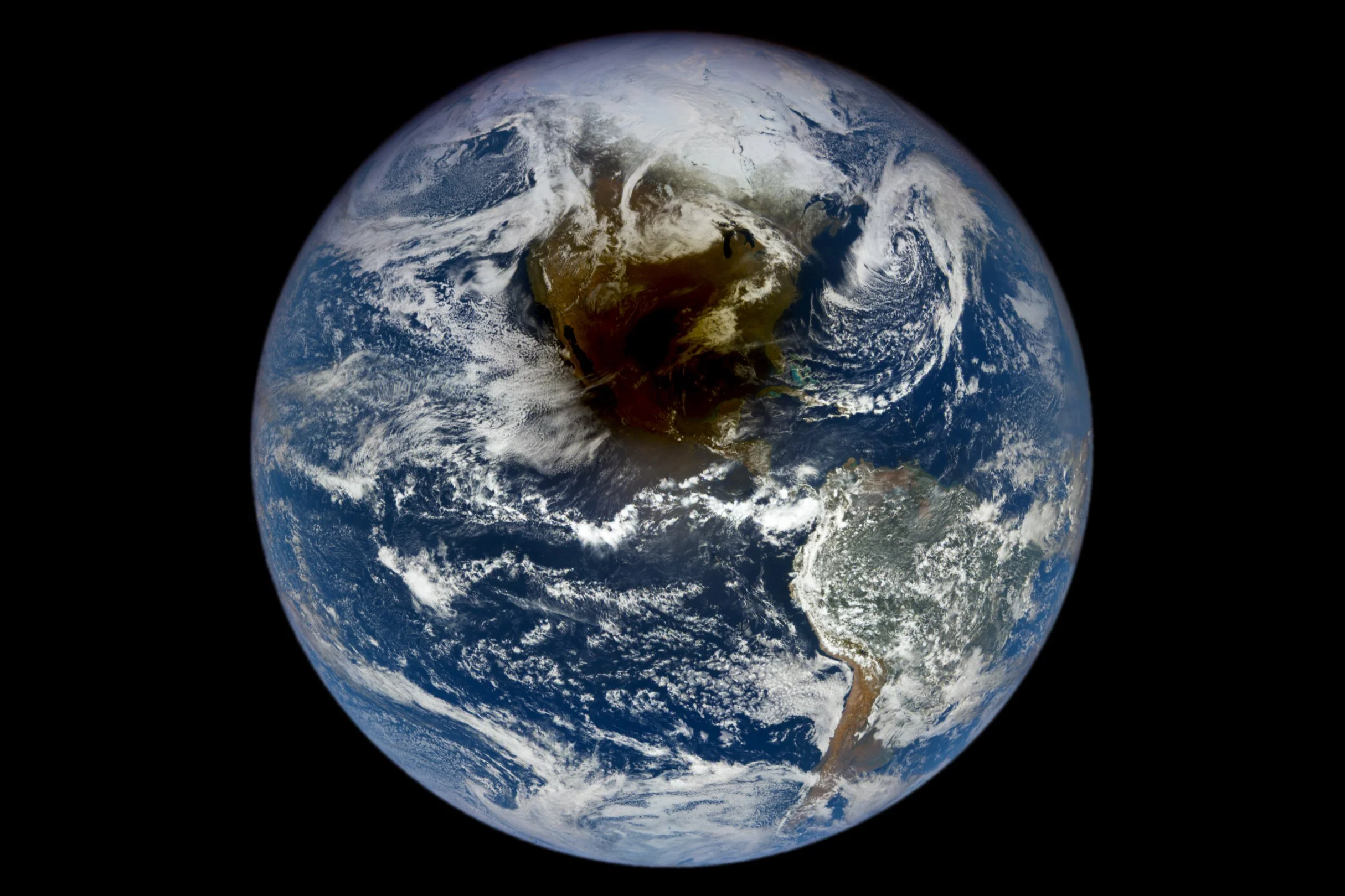
Did you know that satellite imagery is transforming the way we understand our planet?
From tracking biodiversity and monitoring the cryosphere to studying climate change and natural hazards, Earth observation helps us see the bigger picture, every single day.
🇨🇭Watch now and discover Switzerland’s remarkable contribution to Earth observation.
Across Switzerland, researchers, companies, and institutions work on Earth observation and satellite data. They develop instruments, tools, and applications used to better understand our planet and monitor environmental changes.
Swiss technologies help scientists observe ecosystems, track climate change, and study how the Earth evolves over time.
NPOC Ressources
-
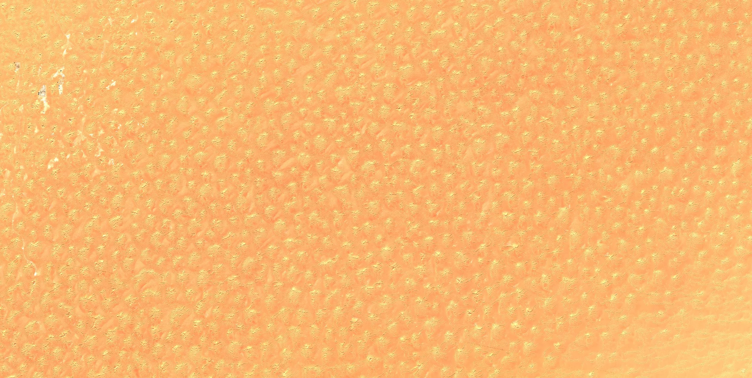
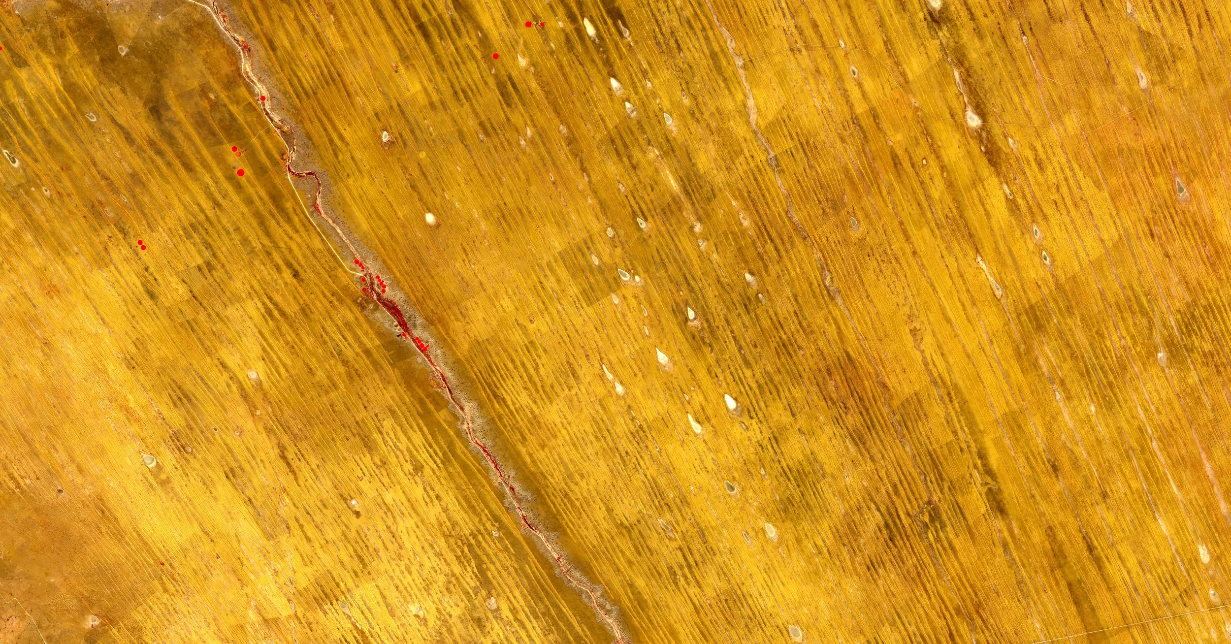
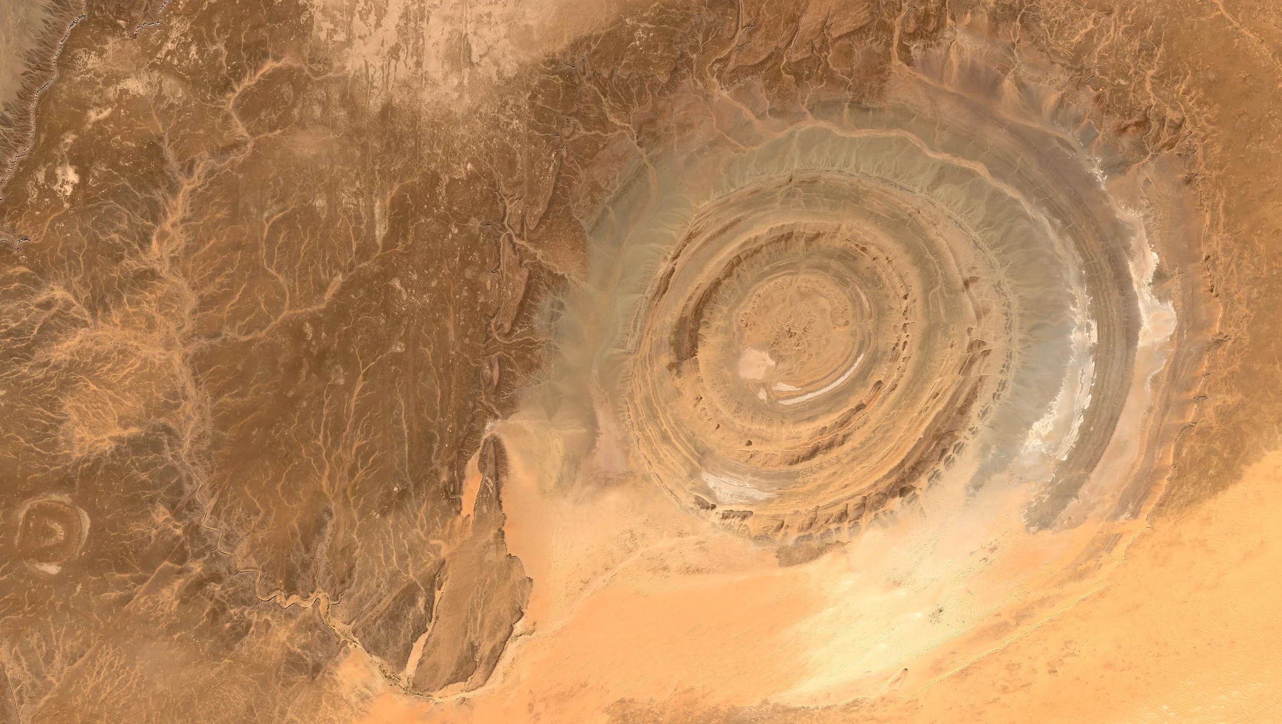
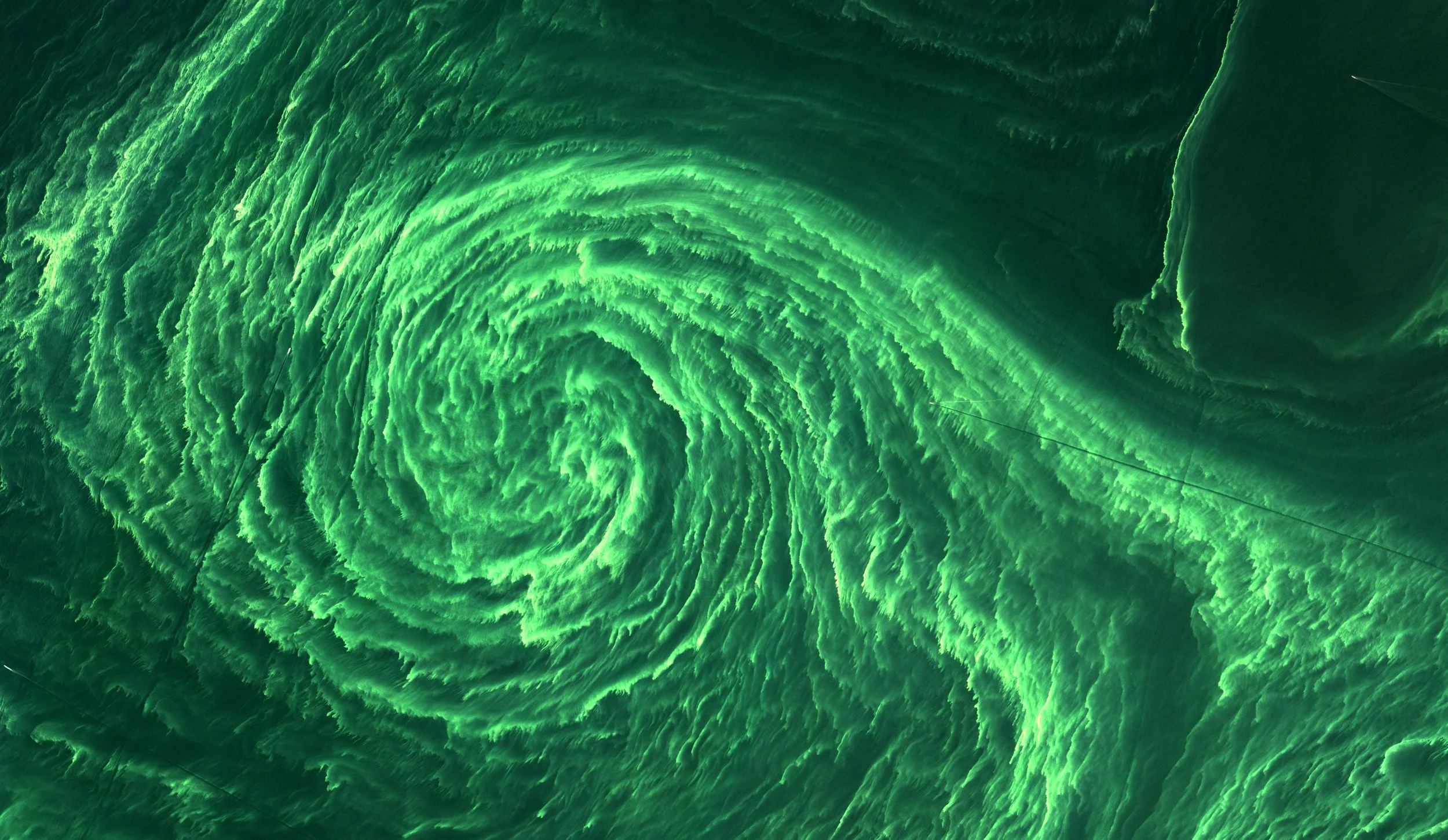
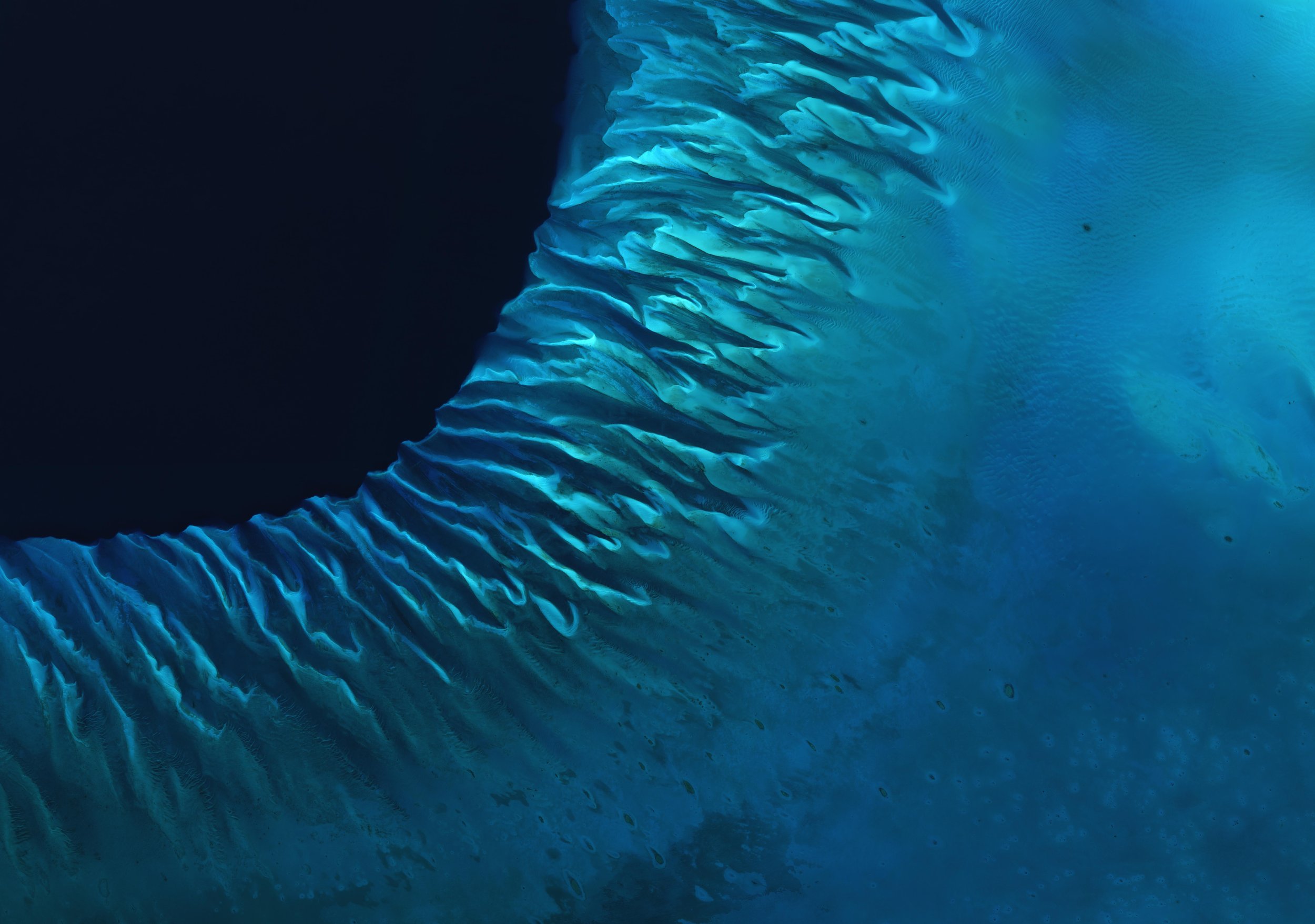
The Aesthetics of Wonders is an exhibition exploring the visual beauty of Earth observation and space imagery. Bringing together science and art, it presents satellite and astrophysical images that reveal unexpected patterns, colors, and perspectives of our planet and the universe
Check out the catalogue to discover more!
-
Using satellite data and related services, the NPOC supports a wide range of projects and applications. For example:
Time Series
Observe changes on Earth over different periods of time.
Dynamic processes can be observed with time series from satellite images. Changes over time, such as the short-term development of a city or the long-term melting of a glacier, can be documented, visualised and analysed. Time series help to identify trends, make predictions and take decisions.
The NPOC helps you select the relevant satellite data and set up the tracking of processes.
Glacier and Snow Monitoring
Track the evolution of glaciers and seasonal snow cover.
Satellite data enables regular observations of glacier extent, snow cover duration and surface changes in remote mountain regions. Long-term EO records help scientists and authorities understand climate impacts, water availability and natural hazards in alpine environments.
The NPOC provides guidance on selecting and processing satellite data for cryosphere applications.
Land Cover and Environmental Change
Map and understand changes in the landscape.
EO data enables the classification and monitoring of forests, agriculture, wetlands, urban areas and other land cover types. Long-term observations help assess ecosystem change, biodiversity pressures and human impacts on the environment.
The NPOC supports users in building reliable land cover and change detection workflows.
Forest Monitoring
Observe forest health and ecosystem change.
Satellite imagery enables the monitoring of forest cover, storm damage, drought stress and pest outbreaks over large areas. Repeated observations support sustainable forest management and biodiversity protection.
The NPOC supports the use of EO data for environmental monitoring and forestry applications.
Click here to discover them.

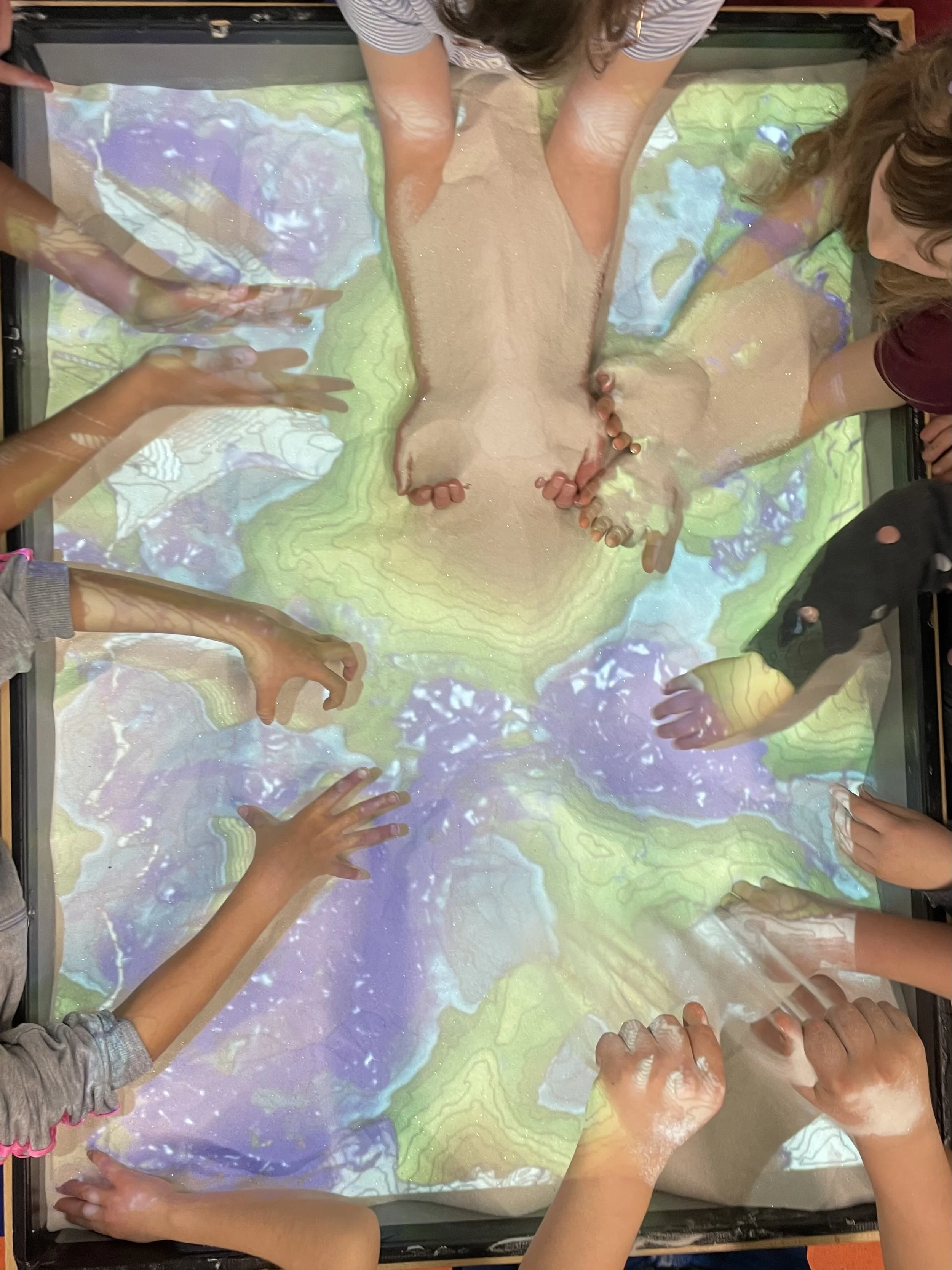
Scientific NPOC Activities
The scientific NPOC regularly participates in and organizes outreach events and workshops to promote the use of satellite data across a wide range of communities and users. Discover it on this page.
Whether you have an idea, a question, a master’s thesis project, a school initiative, or a startup related to satellite data and Earth observation, feel free to get in touch for support. Everyone is welcome to reach out.